Remote Sensing & GIS Department
Growing applications of GIS and remote sensing in various scientific and research fields such as geography, natural resources, climate, environment, geology, geo hazards, and hydrology reflects the importance of these sciences in different domains. GIS and remote sensing has much potential in the management and development of Khuzestan province resources. Considering the key role of these sciences, the department of remote sensing and GIS was established at Shahid Chamran University of Ahvaz in the year 2002. The aim of the remote sensing and GIS department is to train students and skilled professionals for industry, management and agriculture requirements. This Department emphasizes training and skilling graduate students in M.Sc. level and in two Graduate courses including remote sensing and GIS and geological remote sensing. Each year, there are around 5 post graduate students in the faculty working on all area of spatial information management in particular spectrometry, web GIS, network analysis, environmental studies, hydrology, water quality assessment and other research area. Of course, 5 post graduate students each year are working on specialized field of geology and application of remote sensing in this science. Also, the GIS department offers courses leading to PhD. degree in remote sensing and GIS. The school prides itself on training students with deep knowledge that are known as experts in their area of study. Graduate research are engaged in all area of remote sensing and GIS domains including spectrometry, satellite image processing, disaster management, urban planning, soil and water management and Many other domains. Currently, this department benefits from two full-time academic members, which are listed as below:
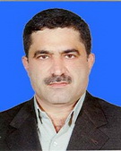
| | Kazem Rangzan | Associate professor | Applied Remote Sensing | |
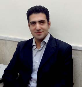
| | Mostafa Kabolizade | Assistant professor | Civil Engineering | m.kabolizade@scu.ac.ir |


